
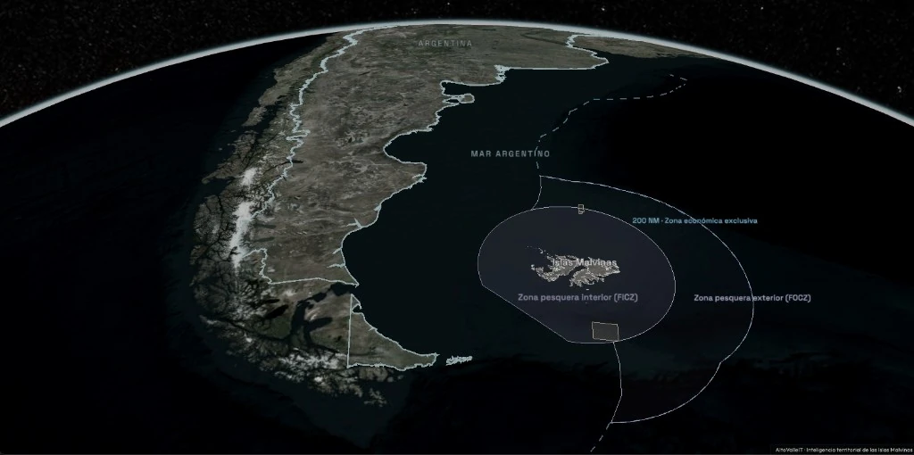
What does this map show?
A map to explore the Islas Malvinas and the South Atlantic
The Islas Malvinas form a South Atlantic archipelago composed mainly of Isla Soledad and Gran Malvina, along with numerous islets and lesser geographic features.
This map brings together geographic and territorial information to explore the islands, their maritime surroundings, and the different areas that help understand their location and characteristics.
The Explorer lets you consult the territory on an interactive map and view different layers of information related to the islands and the South Atlantic.